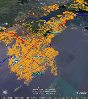
I'm starting to actually try and used Google Earth for viewing geospatial data - and almost immediately I'm hitting my head against the ceiling. It seeems to be sorely missing some very basic GIS functionality (or else I'm not reading the manual closely enough - but the limitations of the "manual" also make my head hurt). Where are things like:
- Line styles (dots and dashes?)
- Labels for lines and polygons (Google roads get cool haloed rotated text - c'mon, I wanna play too!)
- Tooltips for features
- A decent zoom-to-feature
- Decent rendering for polygonal outlines in oblique views (this is a weird one - the outlines seem to get more blocky as the viewpoint gets lower. Linear features render fine, so I presume this is some sort of artifact of a different display pipeline)
- What's with defining colours as ABGR instead of the world-wide standard RGBA? Is someone at Google cixelsyd?
- No extensibility with custom add-ons
- You can't change the terrain model (admittedly not everyone happens to have a DEM lying around - but I do, and I want to use it!)
They did get some stuff right though... The mouse navigation is good - although I think WorldWind's is better. WW's use of the right mouse button is way faster (for me) than using magic disappearing on-screen controls.
And of course KML has created an instant de-facto cartographic standard (I deliberately do not call it a geospatial data standard). Although it's pretty limited as well - SVG is way richer.
So I wonder if and when these shortcomings will be addressed? More on that later...


No comments:
Post a Comment