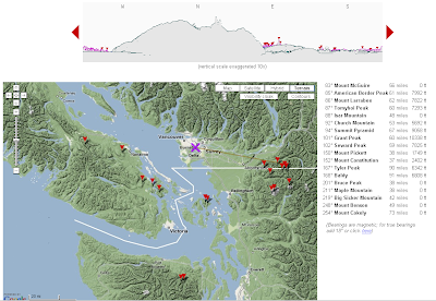
The computed skyline isn't bad, although a bit optimistic (I'm pretty sure you can't see the Olympics from downtown Vancouver!). I think this particular query is ignoring earth curvature (although apparently you can choose to take it into account.)
The site uses it's own SRTM dataset. The gazetteer is impressive - not sure how they get that information.


2 comments:
Heywhatsthat is number one. No 2 is http://www.geocontext.org/publ/2010/04/profiler/en/
Post a Comment